



Sometimes a photograph and description of a national park is just not enough! This presentation describes the impact of three-dimensional relief models on National Park promotion and citizen education in the 19th century. Crafted 100 years before motion photography and digital data, relief (terrain) models offered a way to touch the terrain at scale and imagine yourself there. Chiefly published by Edwin E. Howell (1845-1911), the park models were displayed at fairs, libraries, and rail centers. The models were enriched with new government data on water features, geology, landforms, and peoples. In addition to park promotion, relief models lent their impact to park advocates who used their to-scale realism as visual aids when lobbying legislators for new national parks.

Breadcrumb
A Third Dimension
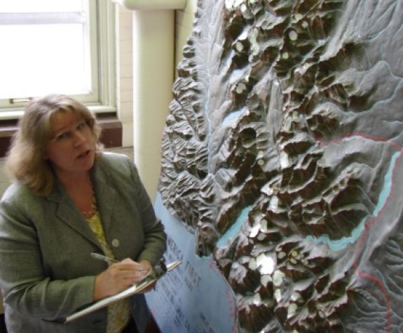
Melanie Schleeter is is the national expert on historic geographic relief models. Her first book, “A Wilderness of Rocks: The Impact of Relief Models on Data Science” (2015) explores the role of relief models in the early formation of modern data science. Her second book (in progress) is a biography of relief modeler Edwin E. Howell (1845-1911). Other current projects include research with articles for the Library of Congress Map Division, the National Park Service, museum collections, and individual map collectors. Melanie is a University of Wisconsin-Madison graduate with a M.Sci. in Geography and a M.Sci. in Life Science Communication. She is internationally certified in UX, or user experience research and analysis. Additionally, Melanie has over 25 years of practical work experience as a data analyst, web designer, and science writer in fields of aerospace, utilities, education, and geographic information systems.